


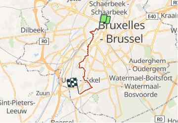

12,8 km | 15,1 km-effort

Benutzer


Kostenlosegpshiking-Anwendung
 SityTrail
IGN / Geografische Institute
SityTrail World
Die Welt öffnet sich für Sie
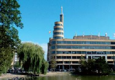
Tour Wandern von 11,2 km verfügbar auf Brüssel-Hauptstadt, Unbekannt, Stadt Brüssel. Diese Tour wird von Leemans vorgeschlagen.
Première étape de 11Km sur les chemins de Compostelle par un dimanche matin de bruine et de vent.
Durée 2h24.
Aucune difficulté.


Wandern

Wandern

Wandern

Wandern
Wandern
Wandern

Wandern

Wandern
Wandern